
Beyond The Valley: Riding Yosemite’s Lesser-Known Backcountry
A different way to experience Yosemite far from the crowds.
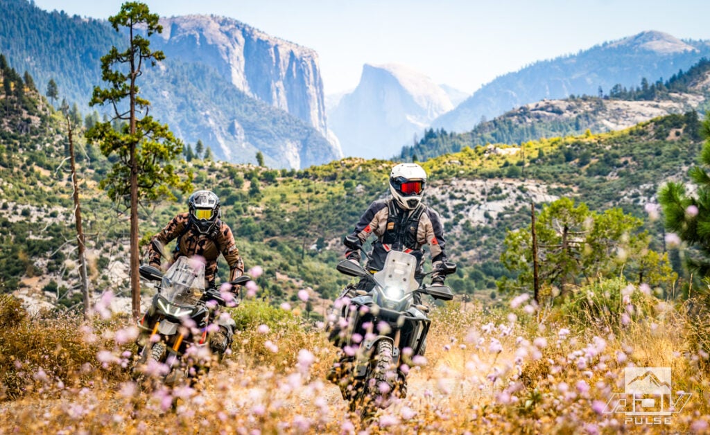
Yosemite is one of the most iconic and heavily visited national parks in the U.S., but few realize that just beyond the valley’s crowded overlooks lies a vast network of remote trails, historic ruins, and free campsites that require no reservation — a combination that makes it a perfect area to explore on an adventure bike.
From our campsite high atop Eagle Peak, Yosemite Valley looked both exceptionally close and a world away. Half Dome sat just twelve and a half miles across the mountains as the crow flies, its unmistakable granite face catching what remained of the evening light. The valley floor itself was even closer — roughly eight miles from our tents — yet between us and one of the most visited landscapes in America stretched an expanse of ridges, forests and trails nearly devoid of people.
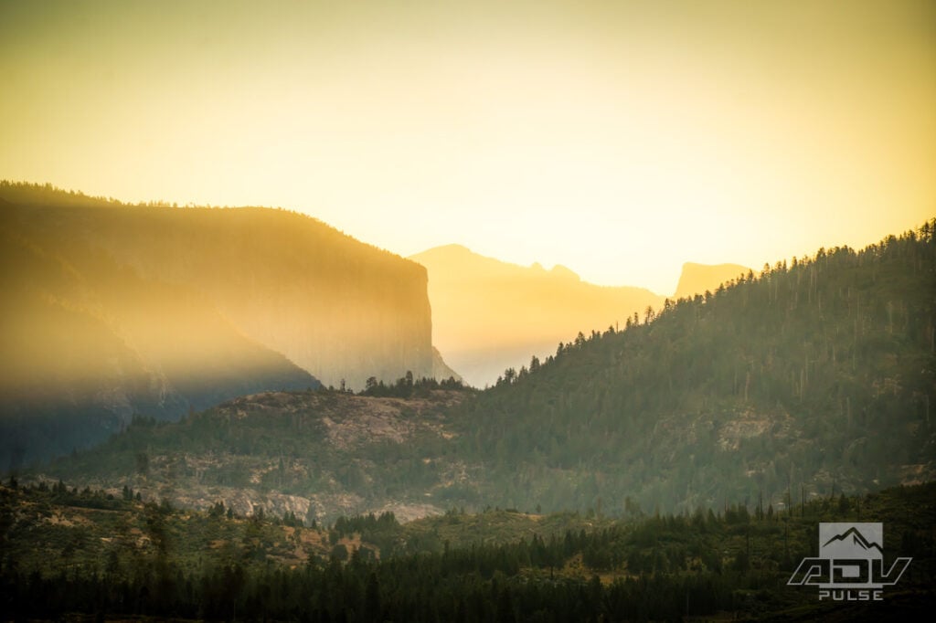
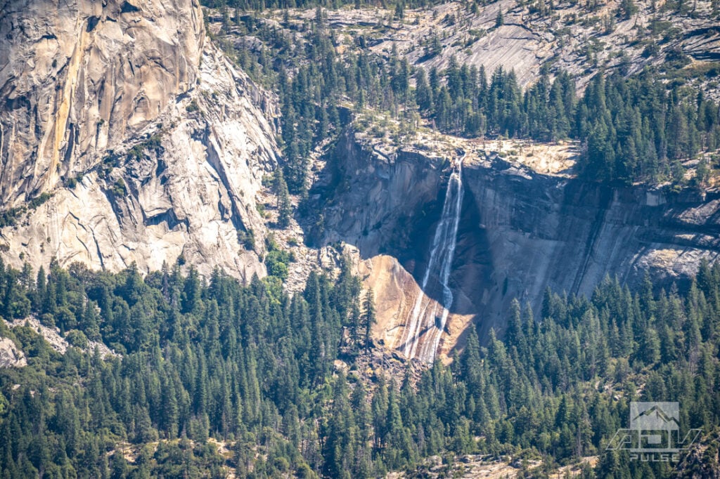
Far below, a conga line of cars streamed into Yosemite National Park for a big holiday weekend. From a distance, the string of headlights had an almost festive glow. Being trapped somewhere inside it probably felt less celebratory.
More than four million people visit Yosemite during a typical year, and there are good reasons for every one of them to come. Yosemite Valley contains a concentration of natural features so spectacular they can make reality look overproduced. The challenge is sharing them with several thousand other people who had exactly the same idea.
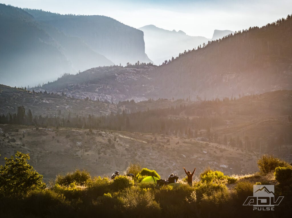
But we had come looking for a different type of Yosemite experience: one approached through abandoned mining districts and forgotten stage roads; one seen from remote fire lookouts and dispersed campsites; and one where the route to a famous granite landmark could be nearly as memorable as the landmark itself.
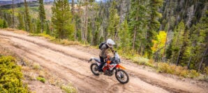
Over three days, our route remained within a 25-mile radius of Yosemite Valley and our motorcycles would cover 340 miles, approximately 60 percent of it on dirt. Some of that dirt would be easy enough for nearly any competent adventure rider. Some of it most definitely would not.
Escaping The Gateway
Our ride began in Oakhurst, one of the primary gateways to Yosemite’s south entrance. The international pull of the park was immediately obvious in the collection of foreign accents echoing through the restaurant. Tour buses, packed cars and businesses built around park traffic made it clear that we were beginning on Yosemite’s tourist side. But we’d be following a different path.
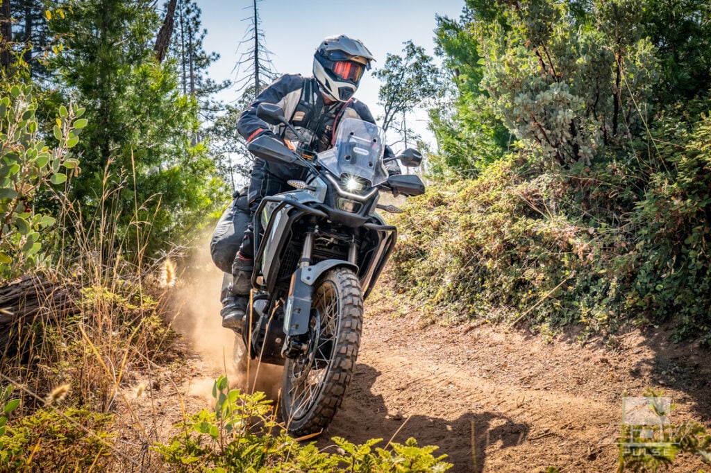
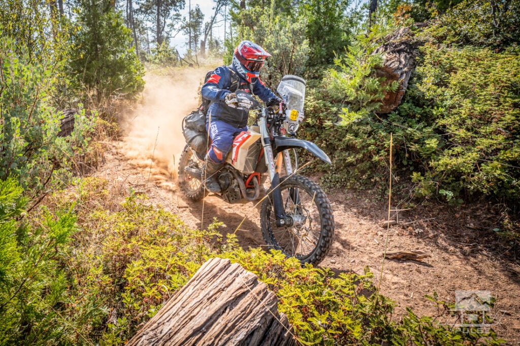
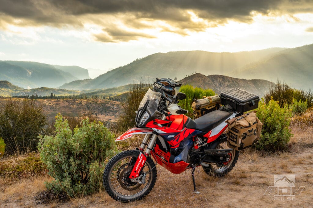
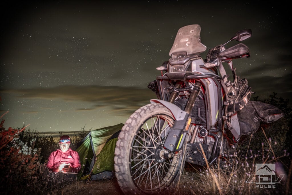
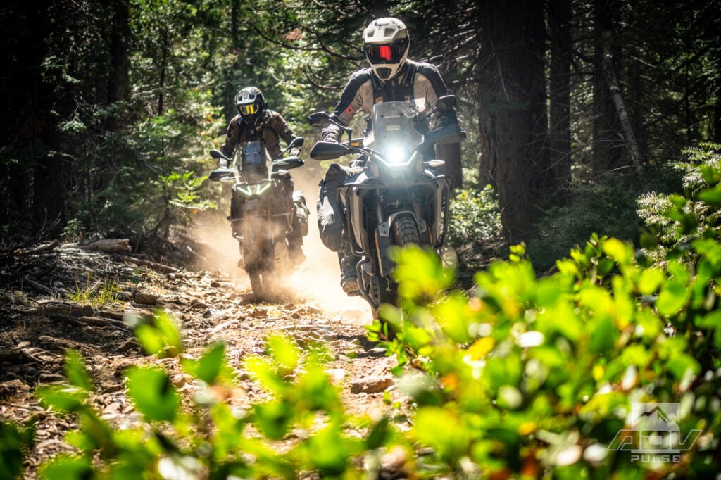
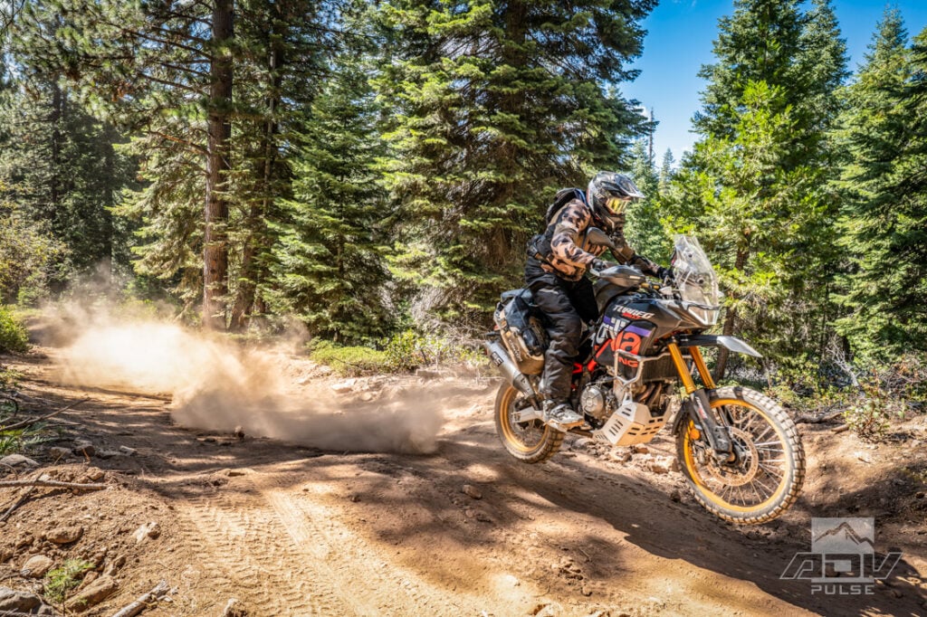
The lineup consisted of ADV Pulse Senior Editor Rob Dabney on an Aprilia Tuareg Rally 660, Photographer Ely Woody aboard his KTM 890 Adventure R Rally, Contributor Mike Massucco on a Beta 390 RS, and me riding CFMOTO’s Ibex 450. The motorcycles ranged from lightweight enduro to rally-spec big twin, but each represented a different answer to the same question: How much motorcycle do you really need to explore the Sierra Nevada?
We began finding out almost immediately in the Miami Trails OHV area outside Oakhurst. Rather than easing into the trip on a wide forest road, our route dove straight onto singletrack through the trees. Loaded adventure bikes turn narrow trails into a different exercise. Handlebars suddenly seem wider, luggage finds every branch, and a line that looks generous on a dirt bike can feel remarkably precise with camping gear strapped to the back.
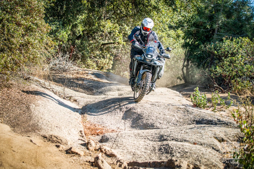
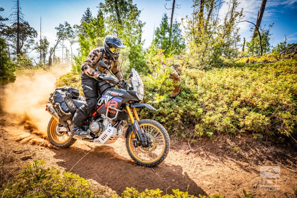
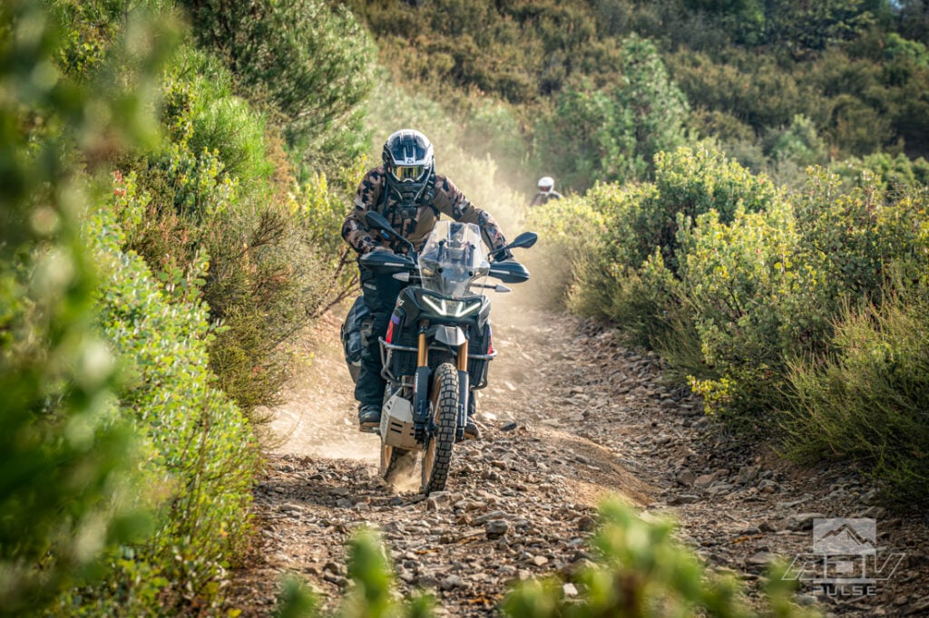
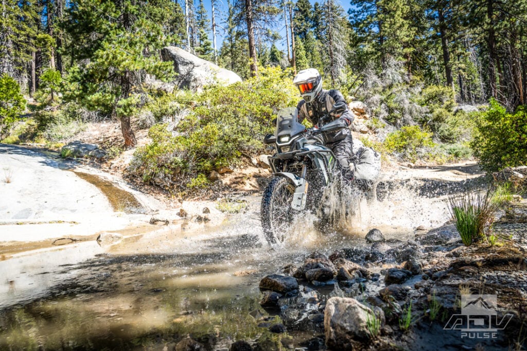
The Ibex 450 was an easy motorcycle to appreciate here. Its manageable size and approachable power made threading through the trees far less dramatic than it might have been on a full-size ADV machine. The Dunlop Trailmax Raids we spooned on for the trip found grip in the loose soil and over roots without making the bike feel cumbersome. The Raids have quickly become one of my go-to adventure tires. I was already impressed by how well Dunlop’s more street-oriented Trailmax Missions work in the dirt; the Raids move the equation much closer to a true off-road tire without giving up too much pavement performance.
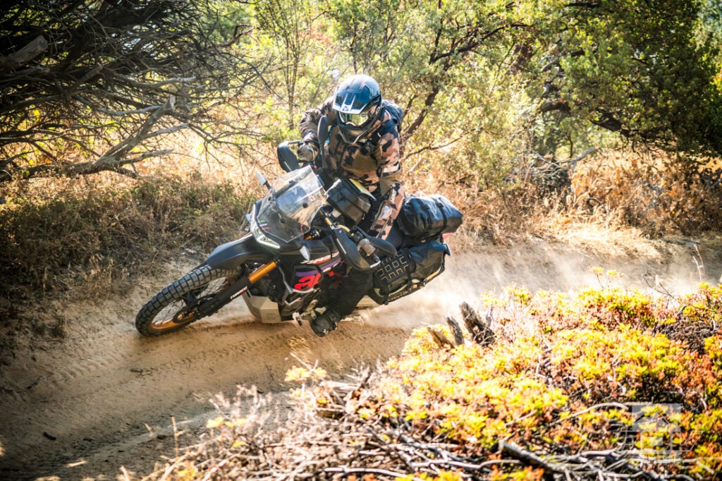


Mike’s Beta should have been the least troubled by any technical terrain on this trip. Instead, it was the first motorcycle to suffer a mechanical problem just a few hours into the ride.
Shortly after exiting Miami trails, the rear axle block snapped off. There are mechanical failures that announce themselves through a suspicious sound or a warning light. A rear wheel developing independent thoughts about where it belongs is more difficult to ignore.
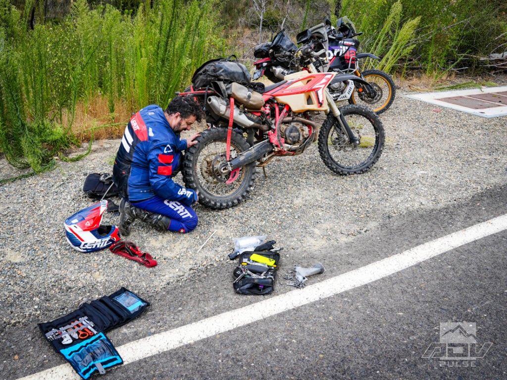
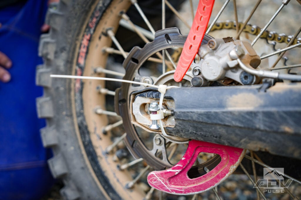
Fortunately, the failure happened within riding distance of Oakhurst. Had the same part let go later on one of the steep, rocky remote trails, the consequences would have been considerably more serious.
With a few skillfully placed zip-ties, Beta was still operational, so Mike carefully rode it back to Oakhurst in search of a repair while the rest of us soldiered with the hope he’d be able to catch up with us later. Mike would eventually find a mechanic that would attempt a weld repair but unfortunately, that would also fail and he ultimately had to truck the bike home.
With our plans already delayed by the breakdown, an active wildfire ensured they would change again.
Gold, Fire and a New Route
A few days earlier, the Colorado Fire had started near Highway 140, west of Yosemite, closing the highway and several dirt roads around our intended route. Wildfire is an unavoidable part of travel in the West, particularly at the end of a dry summer. The roads were dusty, rivers and lakes were visibly low, and the surrounding forest seemed ready to ignite from a strongly worded argument.
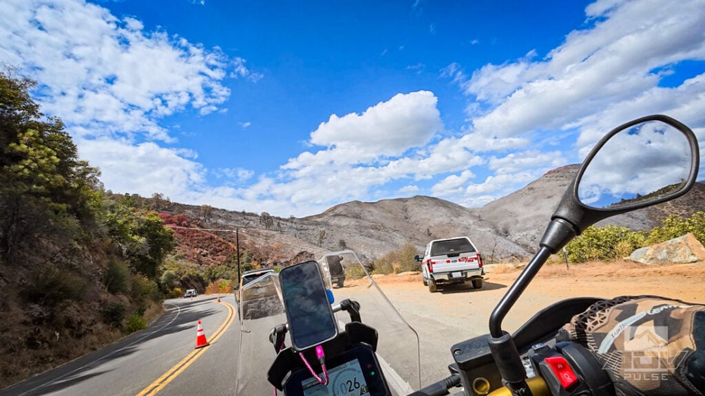
The previous week had been oppressively hot. Back home in Southern California, it was still hot and unusually humid, but our timing in the mountains delivered nearly perfect riding temperatures around the low 80s F. For this trip we opted for Leatt’s mesh adventure gear – Rob in the FlowTour 7.5 and myself in the FlowTour 5.5 – which proved to be well matched for warmer weather and conditions that shifted between physical work on slow trails and faster pavement transfers.
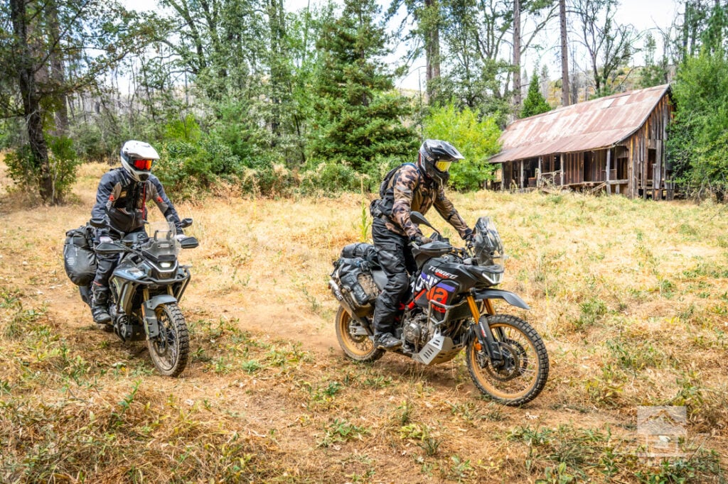
Our unplanned detour carried us through the historic Whitlock mining district and to the remains of Sweetwater Mine. Gold mining here dates to the 1850s, although ownership, names and fortunes changed repeatedly. The operation was known for a time as the Golden Age Mine before the Sweetwater Mining Company took control in 1904 and reopened it the following year. A 1,600-foot tunnel, stamp mill, boilers, compressor and supporting buildings once occupied the site.
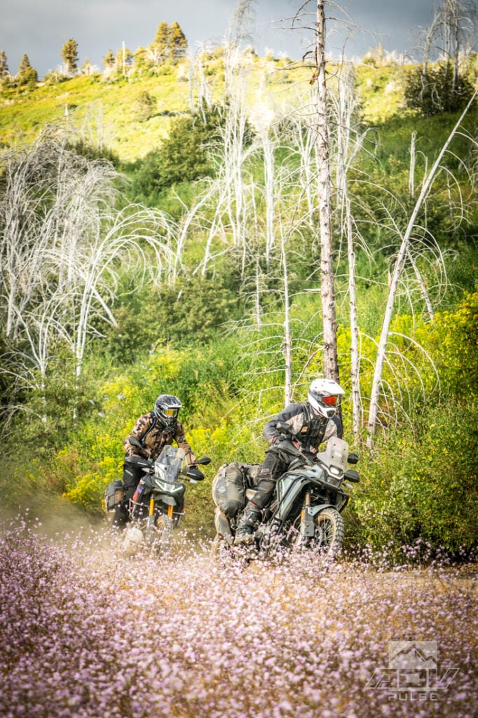
The mine never seems to have delivered the sustained riches its various owners imagined. It passed through sheriff’s sales, changing partnerships and repeated attempts to revive production. After working intermittently into the late 20th century, its remaining structures were eventually left to weather, gravity and occasional visitors.
Inside one building, we found a fragment of newspaper still tacked to a wall where it had been used as insulation. The date was legible: Sunday, May 7, 1905.
The coincidence was remarkable. May 1905 was the same month historical records indicate the Sweetwater Gold Mine resumed operation under its new owners. Someone may have attached that paper while drills and a stamp mill were again making noise outside. More than 120 years later, three adventure motorcyclists arrived and found the old paper still hanging there.
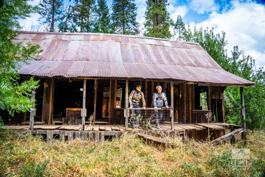
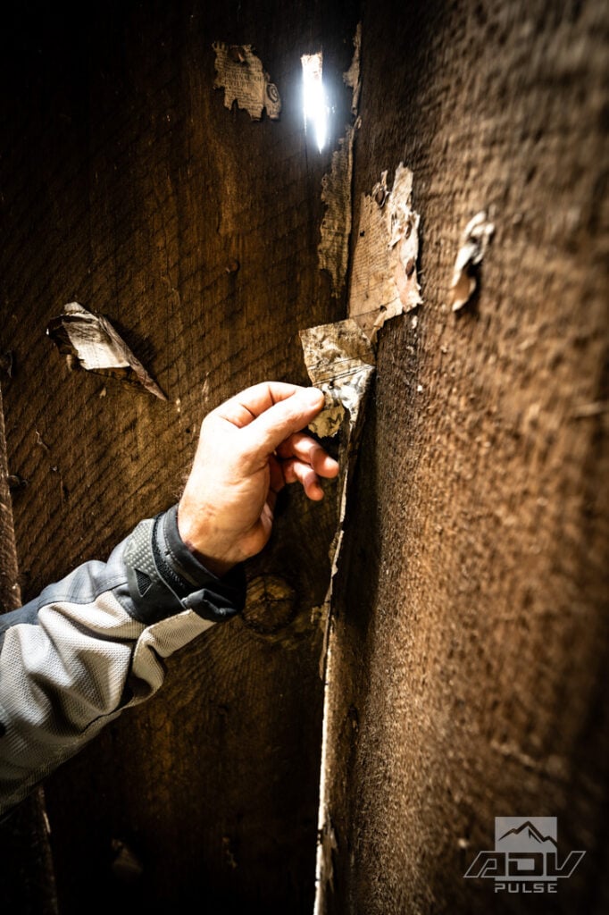
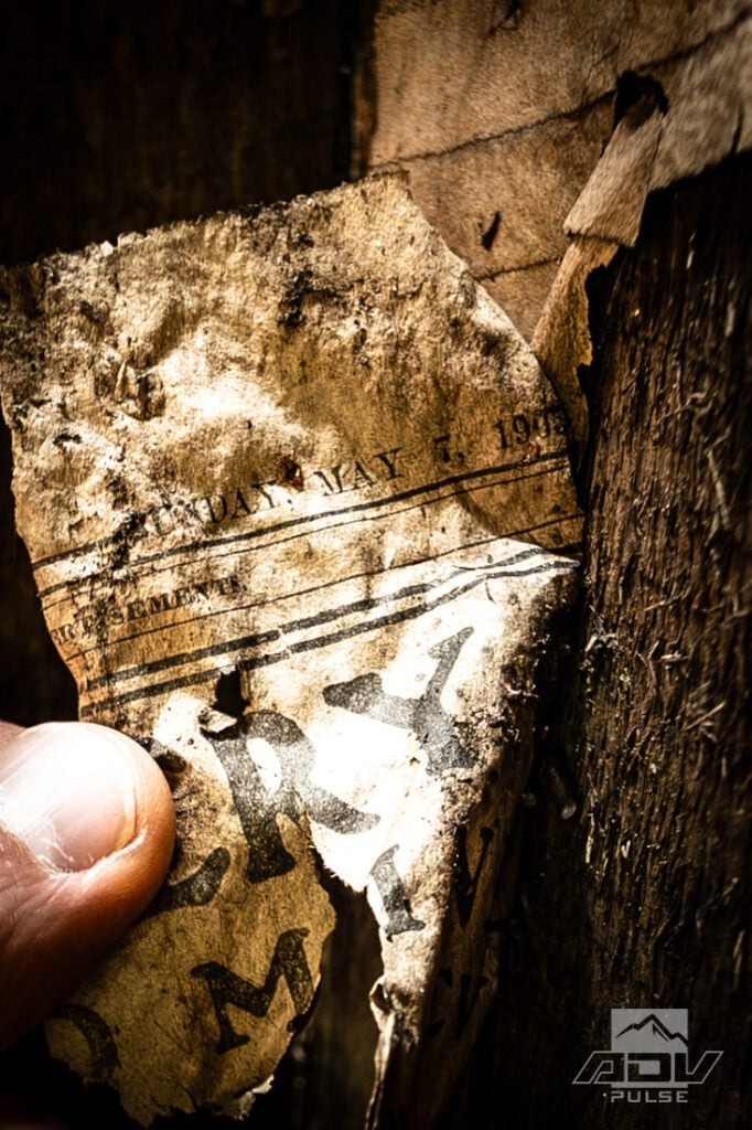
Places like Sweetwater are why traveling on dirt changes the experience of an area. Highway signs tell you where history happened. Remote ruins leave you standing inside it.
Reaching the mine was part of the adventure, but leaving it put us onto an entirely new dirt route through Date Flat after connecting with some of Highway 49’s best pavement twisties. The road carved through the foothills in a seemingly endless sequence of corners. This was where the Trailmax Raids demonstrated the other side of their personality. For a tire capable of delivering legitimate bite on loose climbs and rocky trails, they remained composed and predictable when speeds rose and the road folded back on itself.
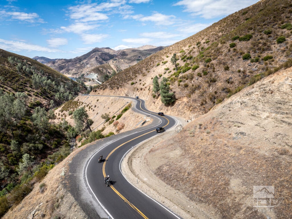
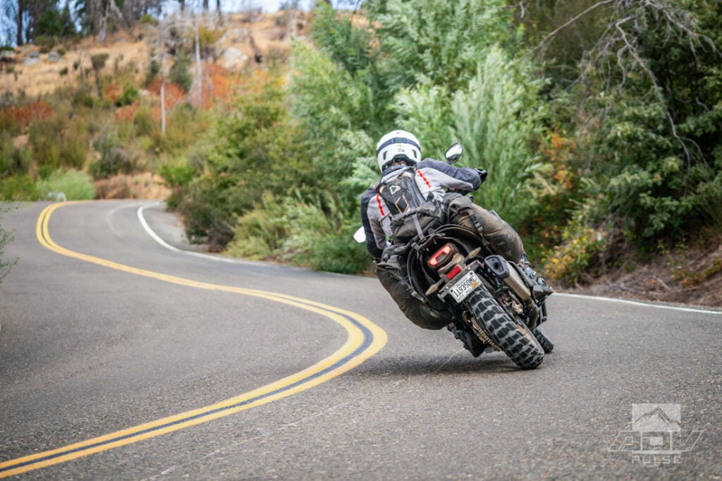
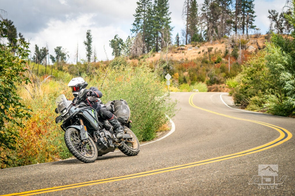
The CFMOTO was equally enjoyable in the curves. Its 44-horsepower 449cc parallel twin provided enough motor to carry luggage and maintain an entertaining pace, without turning every straight into a high-speed event. While the Ibex proved to be a fun and capable platform throughout the ride, two complaints did rise to the surface: an oddly light clutch feel and an inability to fully deactivate the front ABS. The latter would become more than a minor gripe when the descents grew steep and loose.
Dancing at the Bottom of a Cave
Bower Cave is a great place to stretch your legs just about ¼-mile hike from the road. It’s an easy place to pass without realizing how strange its history is. More accurately a limestone grotto, it was known to the local Me-Wuk people as Oo-tin, or Home of the Evening Star. During the Gold Rush era it became a popular stop, and completion of the Coulterville-to-Yosemite toll road in 1874 put it directly along a well-traveled stage route.
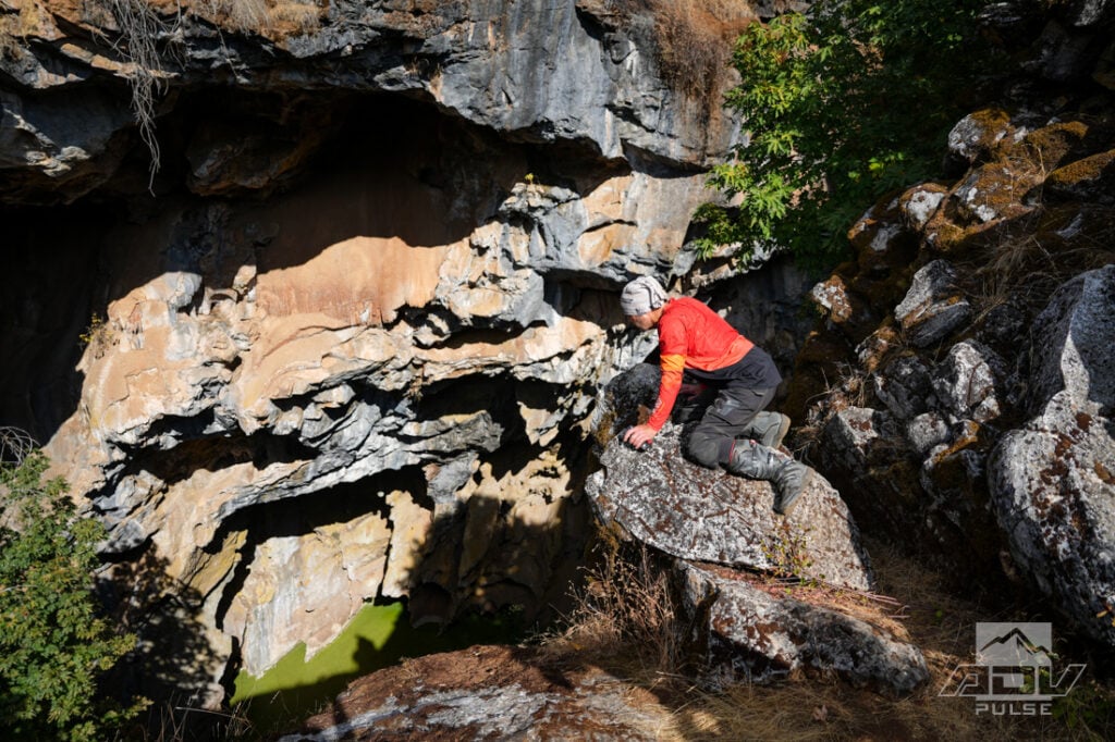
Visitors were originally lowered into the cavern in a bathtub-sized bucket using a windlass. A steep wooden staircase eventually replaced the bucket, followed by a dance floor at the bottom. The attraction became popular enough to inspire construction of an eight-room hotel nearby, and dances continued into the 20th century. The old staircase eventually rotted, and the cave was closed in the 1950s after a visitor died in a fall.
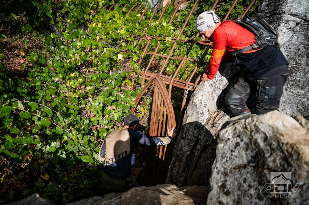
Today, virtually nothing remains of that roadside resort. Officially, the cave is closed to public access, and one look over the edge explains why. It drops steeply away beneath the trees like the earth suddenly forgot to include a floor. However, sections of fencing and a heavy iron gate have been cut open, and multiple ropes tied near the top suggest that ‘some’ visitors… still climb down.
From Bower Cave, we continued along portions of the Old Yosemite Coulterville Road. Before modern highways funneled millions of visitors toward entrance stations, this toll road carried stagecoaches from Coulterville into Yosemite. The route was rough, slow and instrumental in opening the park to early tourism. Today, the surviving backroads feel separated from the place tourism eventually created.
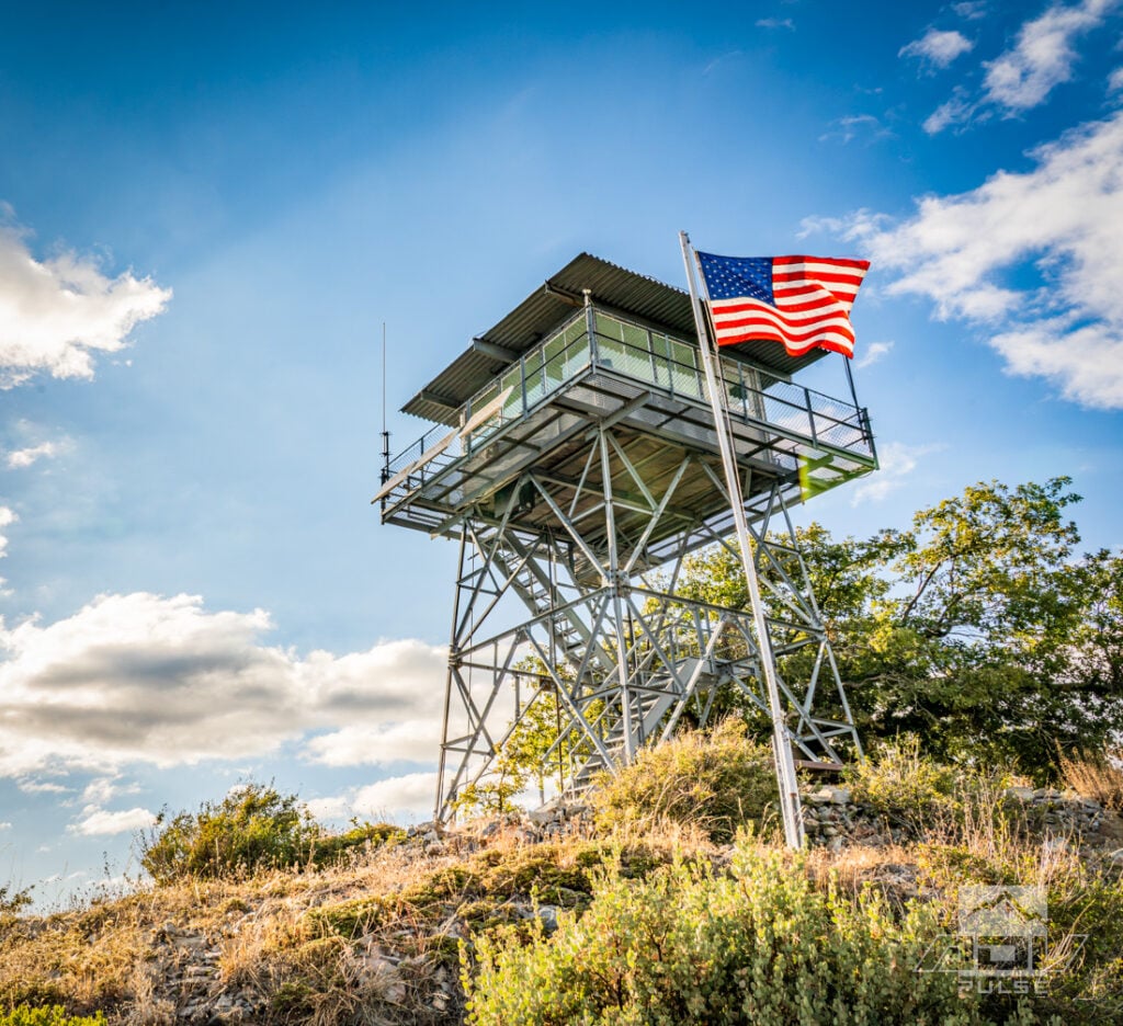
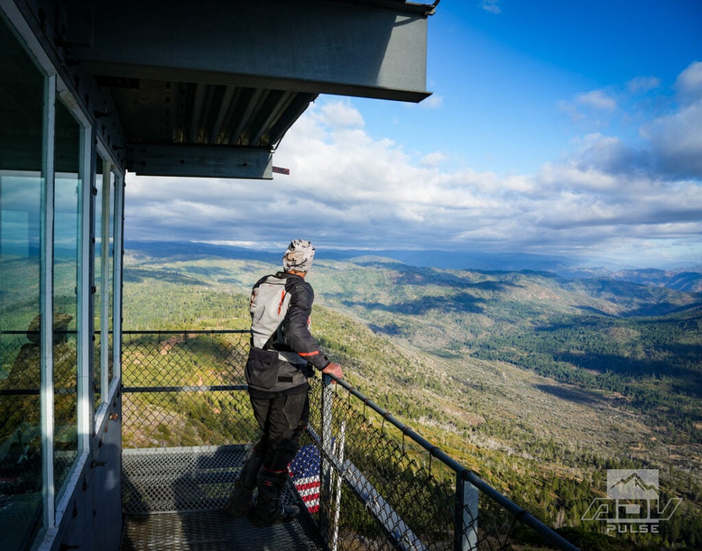
Pilot Peak Lookout should have provided our first grand view into Yosemite Valley. Heavy cloud cover had other ideas. Fire lookouts exist specifically because their high positions reveal enormous swaths of country, but atmospheric fine print applies. We could see forest and rolling layers of mountains, just not the famous valley view hiding beyond them. Fortunately, the weather began to open as we searched for camp.
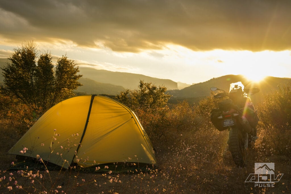
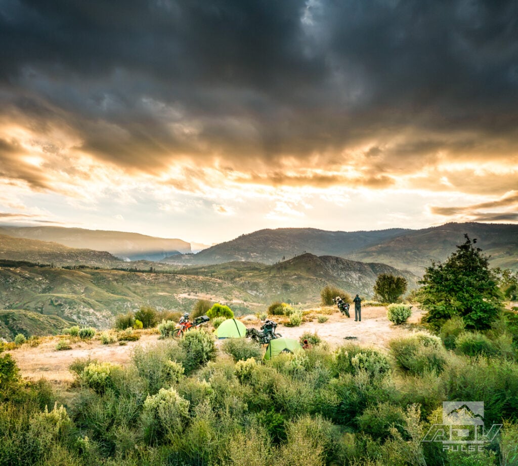
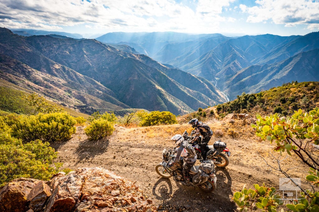
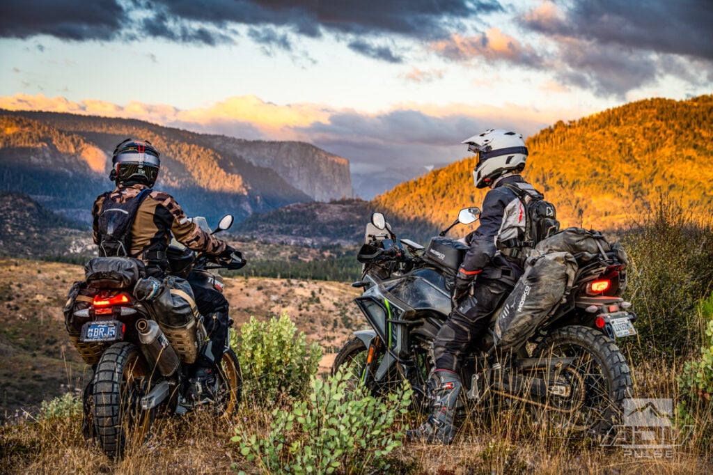
After a rough descent down to Eagle Peak, a dispersed camping site gave us something that’s difficult to find inside Yosemite: freedom from the crowds and perfect silence. We selected a spot with a direct view across the mountains into the valley. Half Dome emerged in the distance, unmistakable just 12.5 miles away.
Seeing it there felt almost like walking into a grocery store and unexpectedly finding Disneyland inside. The surrounding mountains were already spectacular, but Half Dome belonged to a different visual vocabulary. From the usual approaches, its appearance is anticipated and announced. From a lonely campsite west of the valley, it suddenly revealed just how unusual Yosemite’s geology is — and how far those formations dominate the landscape.
Below us, a line of cars continued navigating their way through the park late into the night. We had Yosemite views all to ourselves without a single soul within miles of our camp. And if you got bored of the views of the valley, the sun setting over the foothills on the opposite side of the ridge we camped on was nearly as spectacular.
Fire Towers and Granite Icons
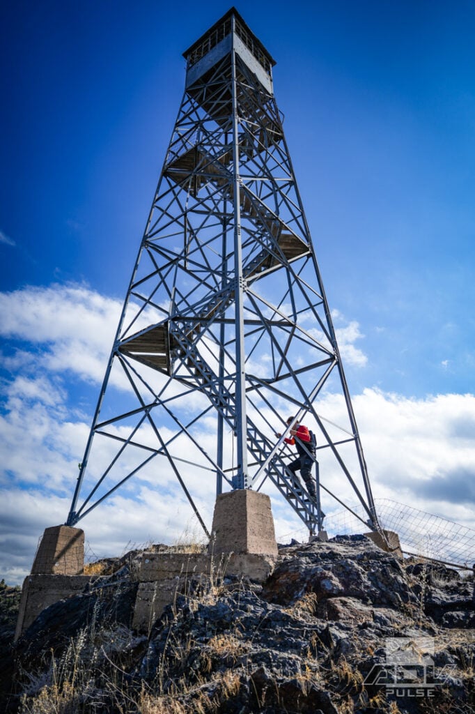
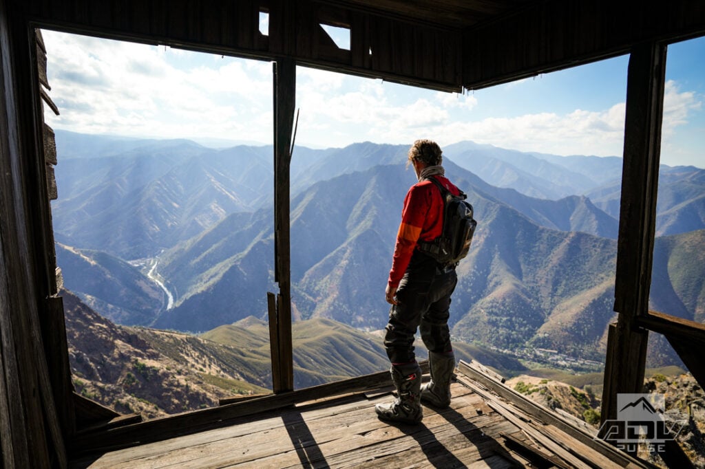
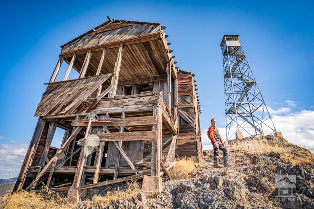
Day two began with a ride to Trumbull Peak, where an old 45-foot fire lookout tower rises above the forest. Built in 1934–35, it is one of relatively few towers of its type still standing in California. The peak overlooks the Merced River Canyon and, on a clear day, provides a direct view into Yosemite Valley.
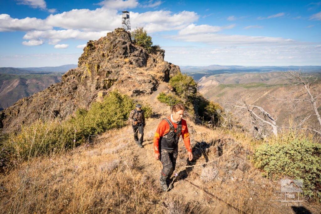
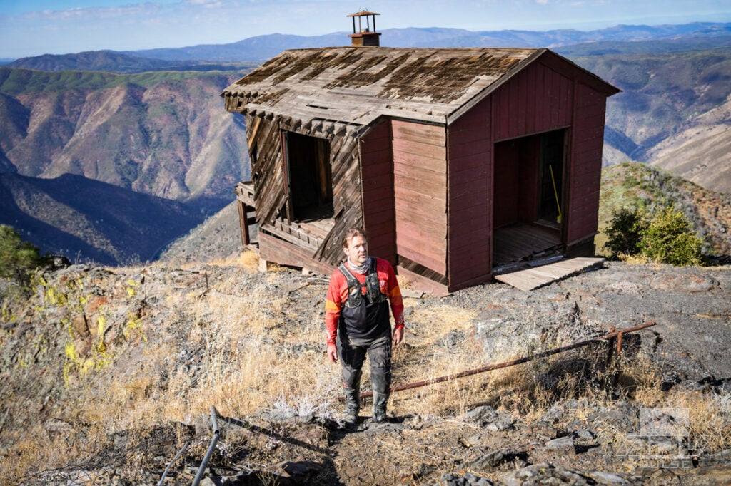
An established campsite near the trailhead, with an even better view of Half Dome, made us briefly reconsider the previous night’s choice. It would have provided another excellent base, although camping is prohibited within the Trumbull Peak Special Interest Area itself. We parked and hiked out a short distance to the lookout.
The aging buildings were in a condition best described as historically sketchy. Weathered wood, rusting metal, and a tower rising high above the rock attached to loose foundation stones made the site fascinating, even if no surface looked trustworthy. The view, however, justified the short hike. Trumbull’s position demonstrates how abruptly the Sierra falls into the Merced River Canyon and why placing a lookout there made sense.
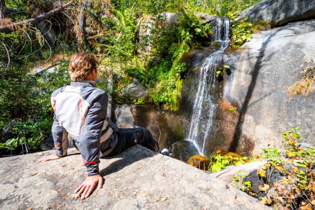
Back on the motorcycles, we continued toward Little Nellie Falls and Foresta Falls. Somewhere near Foresta, Half Dome appeared again — this time with even greater force. Encountering it unexpectedly from an empty backroad was like accidentally opening a door into one of the world’s most recognizable landscapes. We had been riding through beautiful mountain forests for hours, and then one piece of granite transformed the entire horizon.
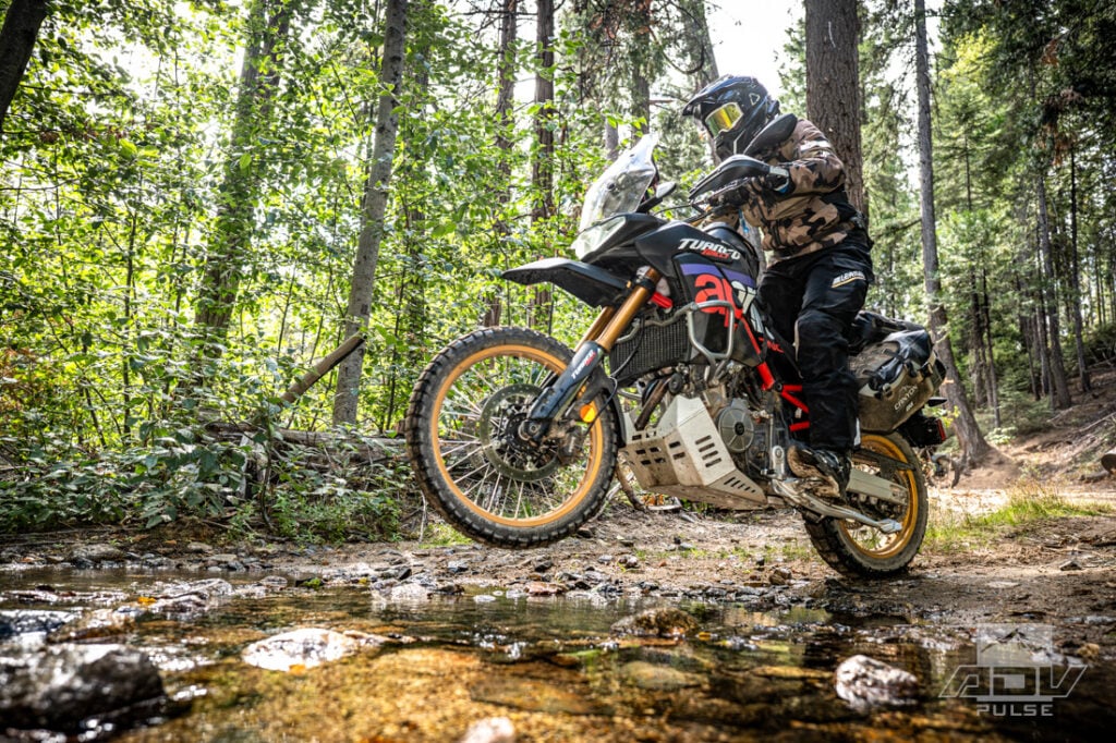
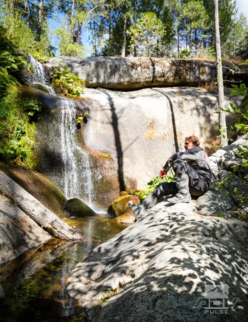
Eventually, we entered the park and joined the traffic to make a quick stop in Yosemite Valley itself. The contrast was immediate. Cars searched for spaces, buses moved crowds between stops, and thousands of visitors filled every available viewpoint. Bridalveil Fall and El Capitan rose above the chaos, seemingly indifferent to the traffic beneath them.
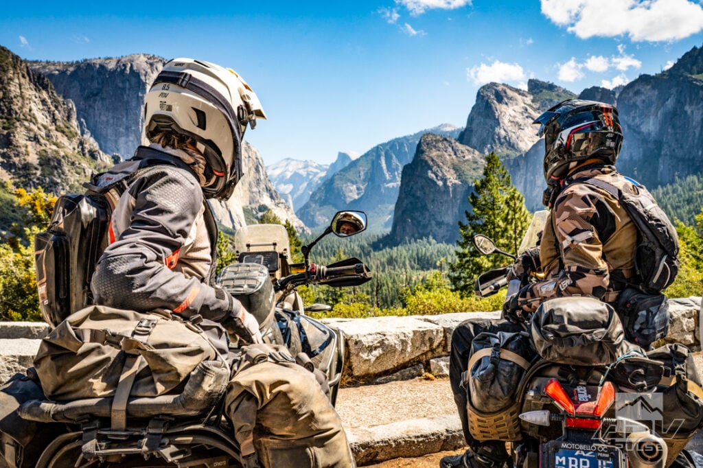
Tunnel View was packed with cars, motorcycles, buses, and people, but sometimes a famous viewpoint is famous because it deserves to be. From the overlook, El Capitan, Half Dome and Bridalveil Fall assemble into a scene so perfectly composed that even the surrounding crowd struggles to diminish it. We accepted the chaos long enough to take it in, then climbed back onto the bikes.
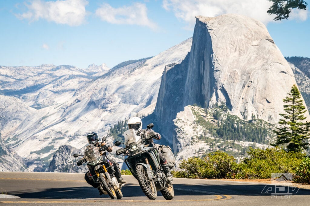
The ride to Glacier Point delivered a still more elevated perspective. Climbing up to 7800 feet, temperatures began to drop into the low 60s F and the all-mesh FlowTour 5.5 gear began to work a little too good – enough to need to pull over and install the waterproof/windproof inner liner for this portion of the ride. As we reached the top, Half Dome appeared almost close enough to touch, with its sheer face rising across the canyon and the High Sierra spreading behind it.
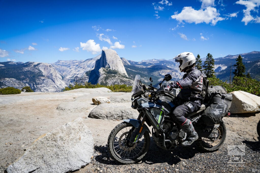
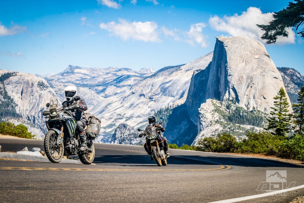
After seeing the same landmark from our campsite, then unexpectedly through the trees near Foresta Falls, viewing it from Glacier Point completed a progression of perspectives — from remote beacon to sudden discovery to overwhelming presence.
Into the Rocks
Near the park’s southern entrance gate in Wawona we veered from the main road to get back on dirt again. Chowchilla Mountain Road carried us into the forest and away from park traffic. The transformation happened quickly. The density of visitors disappeared, the road narrowed, and dirt once again replaced painted lines.
The route took us out of the park and continued on to points farther east including Biledo Cabin and Cold Springs Meadow before leading toward Iron Lakes. The name comes to life in the reddish mountains surrounding the water, colored by the mineral-rich rock. Reaching the lakes required earning the view.
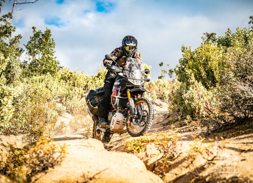
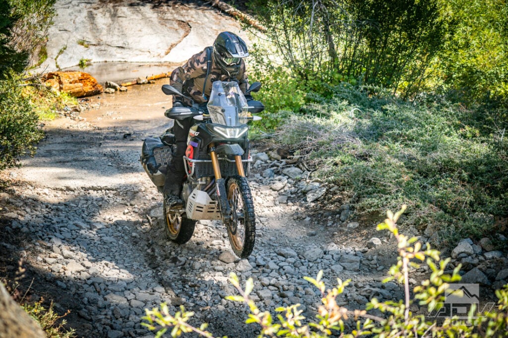
The climb was steep, loose and extremely rocky. Ledges, exposure and irregular steps forced careful line selection, good ground clearance and committed momentum. This was proper technical terrain, not a groomed scenic byway with a little gravel sprinkled on top. In the mid-day heat riding on slower technical terrain, the FlowTour 5.5 jacket still moved enough air to remain comfortable, while providing the coverage and protection needed when branches and rocks became part of the route.
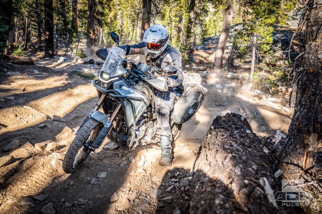
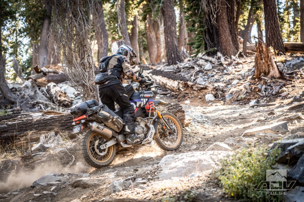
The Ibex’s manageable dimensions continued to help make forward progress. The motor delivered tractable power, and the Trailmax Raids clawed for grip over loose rocks. On descents, however, the Ibex 450’s off-road ABS setting became a real limitation. The system would not allow the front ABS to be fully disabled, and on steep, loose terrain its intervention could turn a carefully measured braking input into unwanted acceleration.
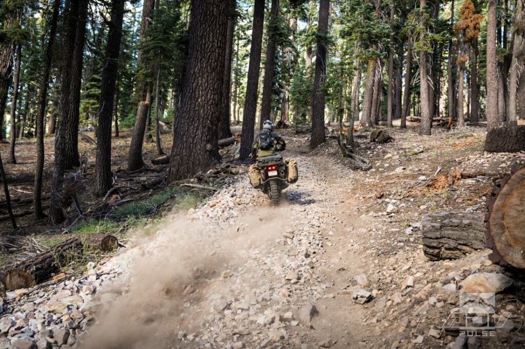
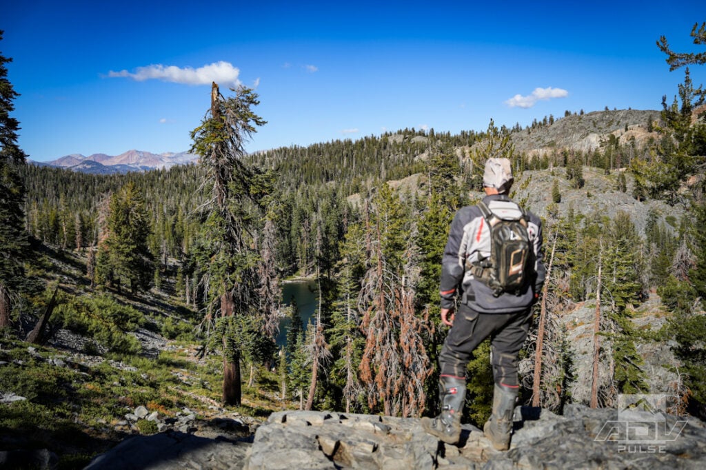
We were nevertheless able to ride the entire Iron Lakes route, and eventually descended toward our second campsite at Scotty’s Pond. Sitting at roughly 8,000 feet, the lakeside site was sunny and warm when we arrived. The comfort lasted precisely until the sun disappeared behind the mountains.
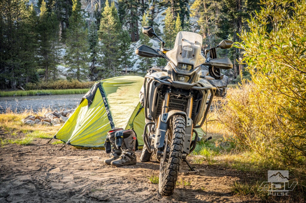
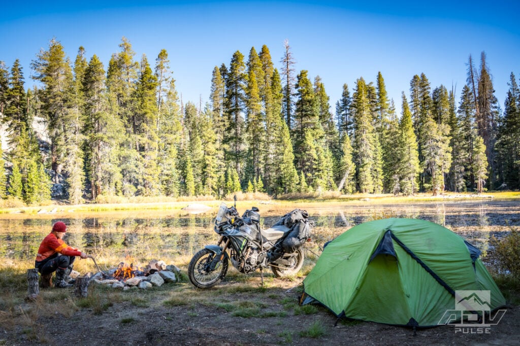
Temperatures fell with startling speed, enough to freeze our hydration packs overnight. The same elevation that made the afternoon pleasant transformed the evening into a reminder that mountain weather works on its own schedule. Above us, the dry air revealed an exceptional spread of stars. Somewhere beyond the firelight, unidentified animals began howling in rhythmic bursts.
When an Adventure Road Stops Being a Road
Our final day began with another lake and another escalation in difficulty. The trail to Chilkoot Lake was rockier than Iron Lakes, with ledges formed by exposed roots and slabs of stone. I climbed part of the final stretch to investigate, but exploration occasionally requires accepting what the terrain is telling you. We parked and walked the remainder rather than forcing loaded adventure bikes through obstacles that offered more risk than reward — and at the top, we were rewarded with a spectacular alpine lake view framed by granite peaks.
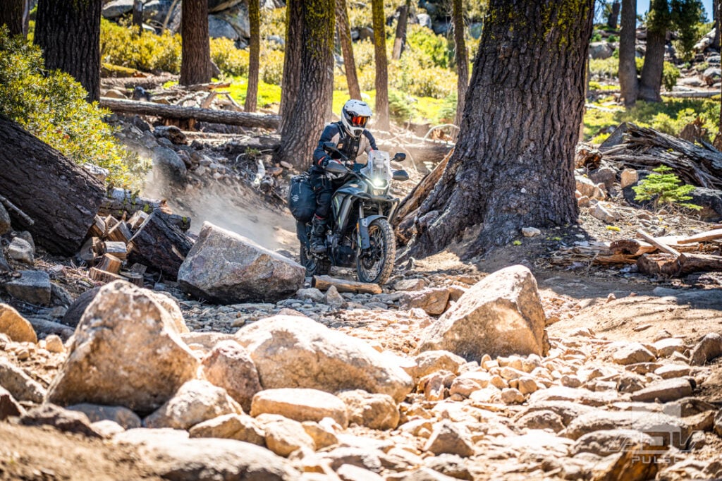
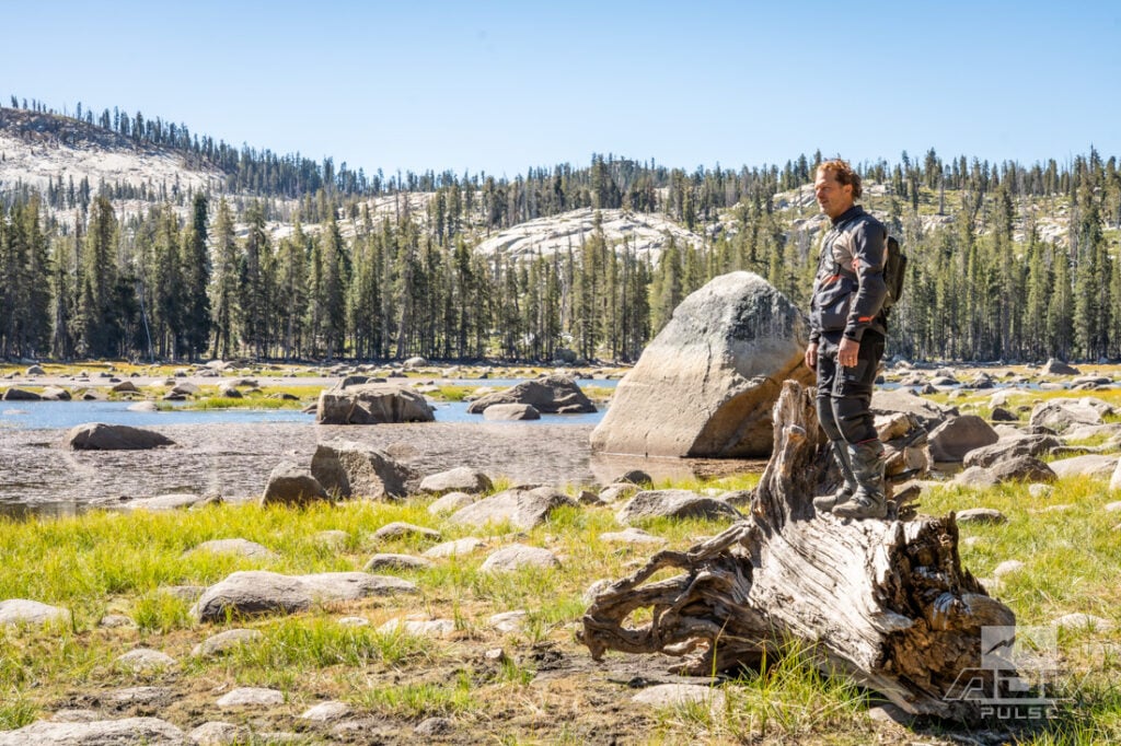
The road to Shuteye Peak began with the opposite impression. The lower portion was a nearly ideal adventure-bike road: winding through the forest, sufficiently rough to remain interesting, and fast enough to let the bikes move beneath us. It was the kind of trail that explains why middleweight adventure motorcycles exist. Then, during the final mile, it changed character entirely.
The climb became steep, with extended sections composed almost completely of rock ledges. Loose approaches fed into solid steps, exposure increased, and the word “road” became more historical description than physical reality. The fun ADV route had transformed into a serious technical ascent better left for lightweight dual sports.
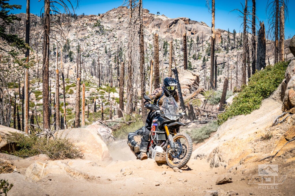
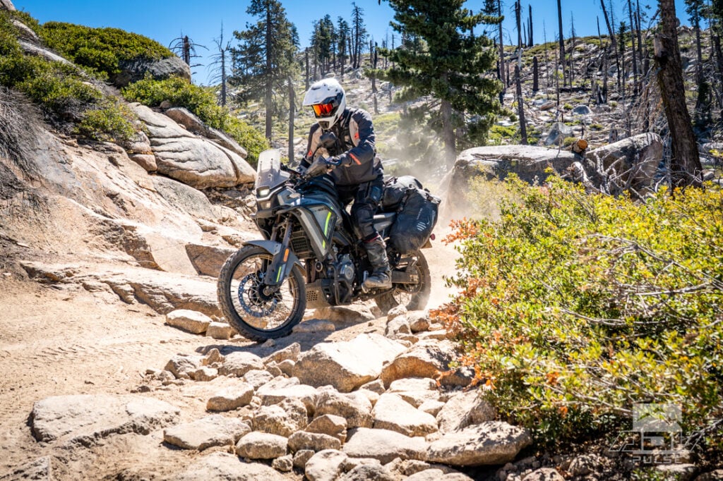
Even a mile or two shy of the lookout, the reward on Shuteye Peak was still eye-opening. Layers of high mountain peaks stretched in every direction, with Mammoth Mountain’s ski resort in the Eastern Sierras visible far off in the distance. The view connected many of the landscapes we had crossed over the previous three days: dry foothills, dense forest, red rock, alpine lakes and the granite backbone of the Sierra.
Our return toward Oakhurst carried us past Bass Lake, gradually reconnecting with pavement, traffic and the gateway-town world where the ride began. After 341 miles, we had briefly entered Yosemite Valley, stopped at some of its most famous overlooks and still spent most of the trip remarkably alone.
That may be the real surprise of riding around one of America’s busiest national parks. Crowds gather where roads, signs and guidebooks concentrate them, but the surrounding mountains remain immense. Beyond the entrance booths is a web of old mining roads, forgotten tourist routes, fire lookouts, OHV trails and dispersed campsites with incredible views that reveal Yosemite from entirely different angles. Millions of people visit Yosemite every year. Finding it off the beaten path can still feel like a discovery.
Maps and GPS Tracks
Want to do this ride? A large interactive map and downloadable GPX Tracks are available free.* Note: Zip downloads don’t work with the Facebook app. Download using a regular browser such as Chrome, Safari etc.
* Terms of Use: Should you decide to explore a route that is published on ADV Pulse, you assume the risk of any resulting injury, loss or damage suffered as a result. The route descriptions, maps and GPS tracks provided are simply a planning resource to be used as a point of inspiration in conjunction with your own due diligence. It is your responsibility to evaluate the route accuracy as well as the current condition of trails and roads, your vehicle readiness, personal fitness and local weather when independently determining whether to use or adapt any of the information provided here.
Photos by Ely Woody, Jon Beck and Rob Dabney

Author: Jon Beck
Jon Beck is fulfilling a dream of never figuring out what to be when he grows up. Racing mountain bikes, competitive surfing, and touring as a musician are somehow part of what led Jon to travel through over 40 countries so far as an adventure motorcycle photographer, journalist, and guide. From precision riding for cameras in Hollywood, to refilling a fountain pen for travel stories, Jon brings a rare blend of experience to the table. While he seems happiest when lost in a desert someplace, deadlines are met most of the time.Related Stories
Related Stories
 Snow, Rain & Sand: Riding Death Valley’s Toughest Trails “You’re not planning to take those bikes out in this weather, are you?”...
 Riding In The Shadow Of Giants On California’s Redwood Coast With the year’s most intense heat wave looming on the horizon, the thought...
 LA2AZ: Off-Road From LA’s Urban Sprawl To The Border of Arizona We’ve all heard of the legendary ‘LA-Barstow to Vegas’ (LAB2V) which occurs Thanksgiving...
Popular Stories

Bultaco Staging Comeback With Budget-Friendly 300cc ADV Bike
Bultaco is officially back in the motorcycle busi...
5 Small‑Bore Adventure Bikes That Aren’t Buzzy On The Highway
Small‑bore adventure bikes in the 300–500cc range...
CFMoto’s 450MT Sweeps All Adventure Classes at Red Bull Romaniacs
CFMoto recorded a standout performance at Red Bul...
KTM Announces Specs And Availability Of New 690 Rally Model
KTM is expanding its LC4 lineup with the introduc...

Notify me of new posts via email