700-Mile BDR-X Route In Upstate New York Released
The new route runs thru Adirondack Park, the largest protected area in the lower 48.
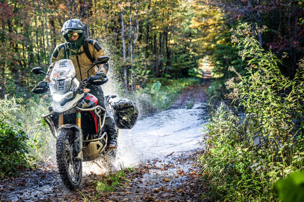
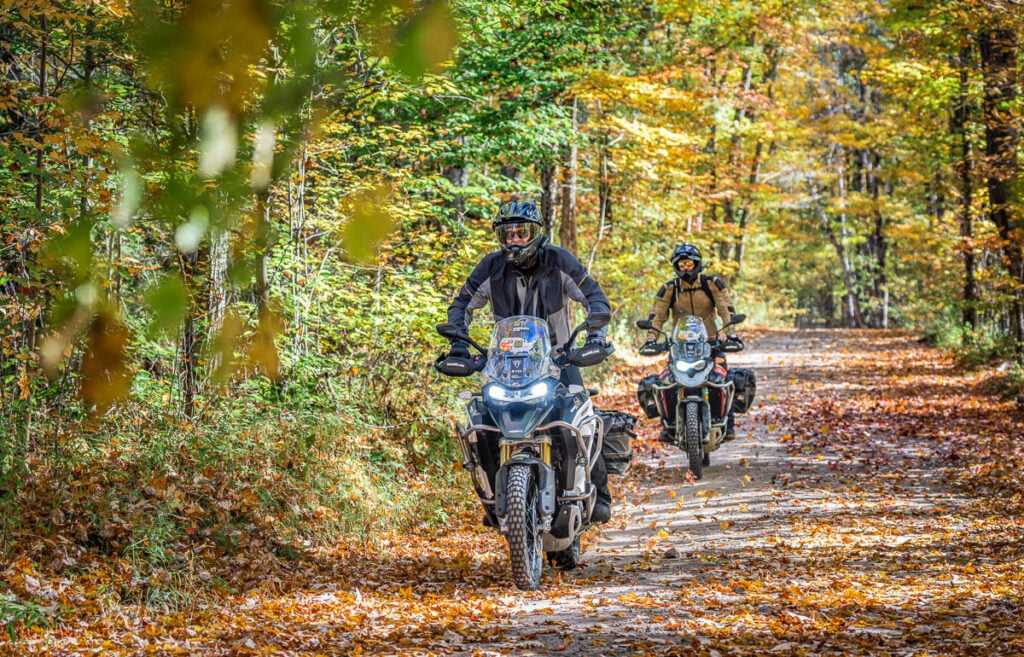
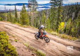
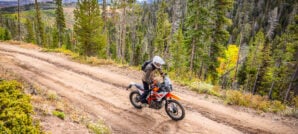
The Backcountry Discovery Routes organization has released the much-awaited BDR‑X loop in the Adirondacks, giving riders a fresh way to explore one of the most historic and scenic regions in the Northeast. The new route in upstate New York forms a roughly 700‑mile loop through the six‑million‑acre Adirondack Park, the largest publicly protected area in the lower 48.
Designed to be approachable for a wide range of riders, the Adirondacks BDR‑X offers a mix of terrain that shifts from smooth, winding tarmac to narrow wooded lanes and lightly maintained dirt roads that can turn muddy or rutted depending on the season. BDR describes the loop as a scenic, moderately challenging ride that captures the character of the region, without requiring expert‑level off-road skills. Although for those looking for more challenging terrain, there is an optional hard section.
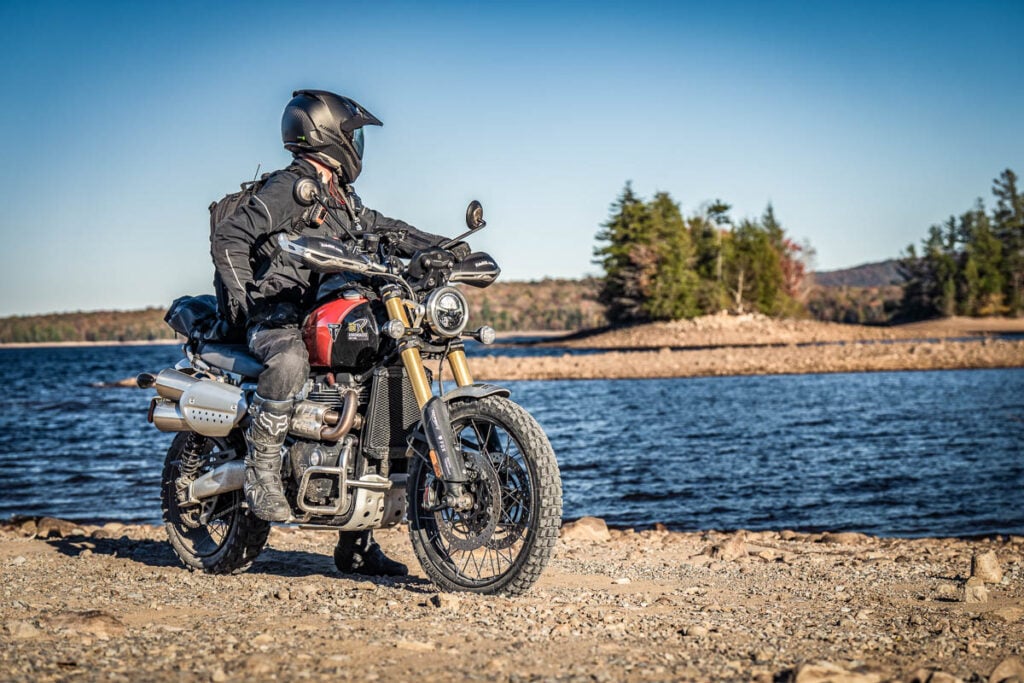
The route begins and ends in the town of Westport on the shores of Lake Champlain, making it easy to ride as a long weekend or a multi‑day tour. Riders pass through small Adirondack communities, lakeside stretches, and dense forest corridors, with plenty of opportunities to stop for fuel, food, and lodging. Camping is widely available as well, both in established campgrounds and in more remote areas where dispersed camping is permitted.
Because the Adirondacks are known for unpredictable weather and seasonal closures, BDR recommends riding the loop between late spring and mid‑fall, noting that early‑season snowmelt can leave some roads muddy and that black flies can be intense in late May and June. Cell service is limited throughout much of the region, so riders are encouraged to carry a satellite communicator and rely on GPS tracks rather than attempting to navigate by signage alone.
As with all BDR‑X releases, the organization has published free downloadable GPS tracks, a detailed FAQ, and a full planning page that covers everything from fuel range to seasonal gates. The Adirondacks loop also has an expedition film that premiered alongside the route, giving riders a preview of the terrain and the overall feel of the region.
Photos by Backcountry Discovery Routes
Related Stories
Related Stories
 Get a Sneak Peek Of The BDR-X Route Coming To Upstate New York Backcountry Discovery Routes is expanding its footprint in the Northeast with the introduction...
 BDR-X Loop Around America’s Deepest River Gorge Coming Soon Backcountry Discovery Routes has announced a new addition to its BDR‑X lineup: a...
 Get a Sneak Peek Of The Ozarks BDR-X Route Coming Soon Backcountry Discovery Routes (BDR) is getting ready to release the all-new Ozarks BDR-X...
Popular Stories
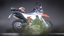
KTM 690 Rally Spotted in Near-Production Form
KTM’s “Adventure” models have become one of t...
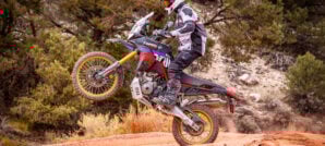
2,500-Miles In 5 Days On A KTM 390 Adventure R. Here’s How It Went
You don’t ride long distances on the highway with...
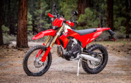
Ducati Announces Specs & Pricing Of Street-Legal 450 Enduro Model
Ducati has officially unveiled the Desmo450 EDS...

Sena Launches Their First Dual Sport Helmet
Sena is expanding its smart‑helmet lineup again...
Notify me of new posts via email